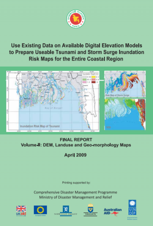
Use Existing Data on Available Digital Elevation Models to Prepare Useable Tsunami and Storm Surge Inundation Risk Maps for the Entire Coastal Region
This is the volume-II of the Final Report of the study titled “Use existing data on available digital elevation models to prepare useable tsunami and storm surge inundation risk maps for the entire coastal region”. This report contains the Digital Elevation Model (DEM) of the entire coastal region, landuse and geomorphological maps of Bangladesh. It describes the methods and material used for the preparation of DEM, landuse map and geomorphological map. Soft copies of the DEM, landuse and geomorphological maps have been provided in a CD along with this report, which may be considered as a part of the report. Comprehensive Disaster Management Programme (CDMP) commissioned Institute of Water Modelling (IWM) to carry out this study n December 2007.

| Title | Use Existing Data on Available Digital Elevation Models to Prepare Useable Tsunami and Storm Surge Inundation Risk Maps for the Entire Coastal Region |
|---|---|
| Document Category | CRA/ URA Plan & Report |
| Document Type | Report |
| Circulation Type | Public |
| Publishing Date | Apr 1, 2009 |
| Language | English |
| Publisher information | Comprehensive Disaster Management Programe (CDMP) |
| ISBN | N/A |
| Refrence Number | 363878-09-12-2021 |
