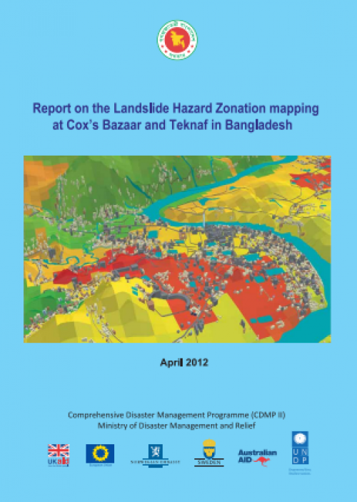
Report on the Landslide Hazard Zonation mapping at Cox’s Bazaar and Teknaf in Bangladesh
Landslides, one of the natural catastrophes, always cause a major problem in the Cox’s Bazaar and Teknaf mountain zones, of Bangaladesh by killing people every year besides damaging the properties and blocking the public utilities.
Globally, landslides cause hundreds of billions of dollars in damage and hundreds of thousands of deaths and injuries each year. One of the very impotent tasks is to prepare landslide hazard zonation (susceptibility) map (Aleotti and Chowdhury 1999) to get proper idea before take any decision to reduce the risk from landslides. Landslide susceptibility is defined as the proneness of the terrain in a cartographic way. A landslide zonation map describes areas where landslides are likely to occur in the future by correlating some of the principal factors that contribute to landslides with the past distribution of landslides (Brab et al. 1972).

| Title | Report on the Landslide Hazard Zonation mapping at Cox’s Bazaar and Teknaf in Bangladesh |
|---|---|
| Document Category | Landslide Hazard |
| Document Type | Report |
| Circulation Type | Public |
| Publishing Date | Apr 1, 2012 |
| Language | English |
| Publisher information | CDMP |
| ISBN | N/A |
| Refrence Number | 885177-11-12-2021 |
