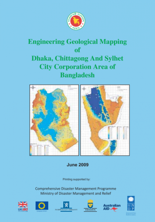
Engineering Geological map for Seismic Hazard and Vulnerability Assessment of Dhaka, Chittagong and Sylhet City Corporation Area
In order to obtain geological / geotechnical data as basic information for analysis of the seismic hazard assessment, geomorphic survey (Chapter 1), geotechnical investigation (Chapter 2) and geophysical exploration (Chapter 3) were carried out in Dhaka, Chittagong and Sylhet. In geotechnical investigation, 139 soil borings (4,099 m in drilling length), 2,720 times of standard penetration test (SPT), 19 points of PS logging, 9 points of cone penetration test (CPT) and laboratory tests were conducted.

| Title | Engineering Geological map for Seismic Hazard and Vulnerability Assessment of Dhaka, Chittagong and Sylhet City Corporation Area |
|---|---|
| Document Category | CRA/ URA Plan & Report |
| Document Type | Report |
| Circulation Type | Public |
| Publishing Date | May 26, 2009 |
| Language | English |
| Publisher information | Comprehensive Disaster Management Programe (CDMP) |
| ISBN | N/A |
| Refrence Number | 101555-11-12-2021 |
